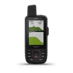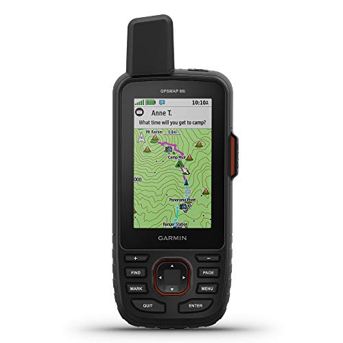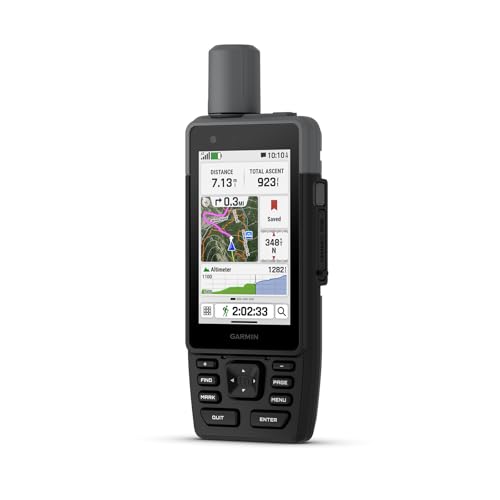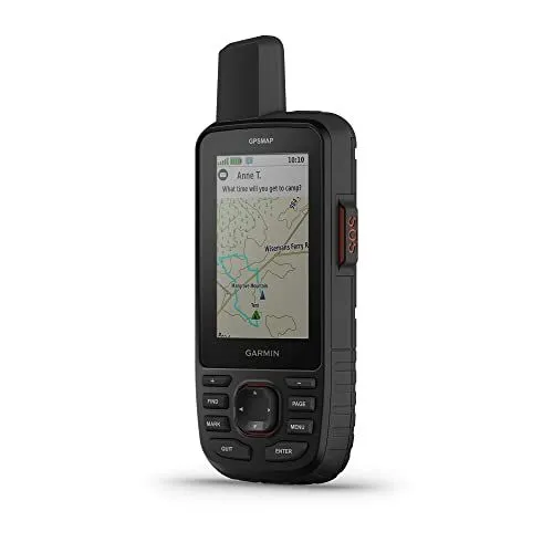
The Garmin GPSMAP 67i Handheld with inReach Technology is a premium navigation tool designed for serious outdoor enthusiasts and professionals who operate in remote environments. This rugged device is built to military standards (MIL-STD-810) for thermal, shock, and water resistance, ensuring it can withstand the harshest conditions on land or water. It features a large three-inch sunlight-readable color display that provides crisp visibility for preloaded TopoActive maps of North America and high-resolution satellite imagery downloaded directly to the unit. By utilizing multi-band GNSS support, the device offers superior positioning accuracy by accessing multiple satellite frequencies even in challenging areas like deep canyons or heavy tree cover.
Safety and communication are the core pillars of the Garmin GPSMAP 67i Handheld with inReach Technology, which uses the global Iridium satellite network to keep users connected where cell service fails. With an active satellite subscription, adventurers can utilize two-way messaging to stay in touch with loved ones or share their live location through MapShare. Most importantly, the device features a dedicated SOS button that triggers an interactive alert to the Garmin Response center, a professional 24/7 emergency coordination hub. This capability ensures that help is always within reach regardless of geographical isolation, providing an essential safety net for backcountry travel and solo expeditions.
The internal rechargeable lithium-ion battery provides exceptional endurance for long-duration treks, offering up to 165 hours of life in 10-minute tracking mode and up to 425 hours in expedition mode. Users can further enhance their experience by pairing the Garmin GPSMAP 67i Handheld with inReach Technology with the Garmin Explore app to plan trips, sync waypoints, and access real-time weather forecasts. Integrated sensors including a barometric altimeter and a 3-axis electronic compass round out the navigation suite, offering comprehensive environmental data. Whether navigating complex terrain or coordinating a rescue, this device serves as a reliable lifeline and a powerful mapping workstation for any global adventure.
FEATURES:
– Built-in inReach satellite technology
– Two-way global text messaging
– Interactive 24/7 SOS alerts
– Multi-band GNSS satellite support
– Preloaded TopoActive mapping
– Sunlight-readable 3-inch color display
– Expedition mode battery life
– Rugged MIL-STD-810 construction
– Integrated ABC navigation sensors
– Wi-Fi and Bluetooth connectivity
– Direct-to-device satellite imagery
– Built-in LED flashlight
– Water-resistant IPX7 rating
– USB-C rechargeable internal battery
The Garmin GPSMAP 67i Handheld with inReach Technology is a premium, rugged navigation device designed for extreme outdoor environments and off-grid communication. Built to military standards (MIL-STD-810) for thermal, shock, and water resistance, this handheld features a large 3-inch sunlight-readable color display that ensures clear visibility in any conditions. The device supports multi-band GNSS technology, allowing for superior positioning accuracy even in challenging areas like deep canyons or under dense tree canopy. It also comes equipped with internal sensors, including an altimeter for elevation data, a barometer to monitor weather patterns, and a 3-axis electronic compass to maintain orientation while stationary.
– Extremely accurate tracking
– Quick satellite signal lock
– Preloaded detailed maps
– Impressive battery life
– Robust and well-built
– Waterproof and impact-resistant
– Includes altimeter and barometer
– Includes built-in compass
– Combined GPS and inReach
– Excellent screen resolution
– Reliable multi-band GPS
– Lightweight handheld design
– Effortless track syncing
– Reliable button navigation
– Functional without mobile apps
– Built-in satellite communication
– Provides six-foot accuracy
– Large screen for maps
– Supports additional map downloads
– Steep learning curve for beginners
– Interface could be more user-friendly
– Expensive price point
– Difficult to master the menu
– Initial phone connection issues
– Lacks a touchscreen interface
– Requires research to understand quirks
The Garmin GPSMAP 67i offers exceptional value for serious adventurers through its highly accurate multi-band tracking, impressive battery life, and the seamless integration of inReach satellite communication within a rugged, waterproof housing. Users benefit from preloaded maps and reliable button-operated navigation that functions independently of mobile apps, though these advanced features come with a high price tag and a steep learning curve. While the device excels in durability and signal speed, beginners may find the menu interface difficult to master and might initially struggle with phone connectivity or the lack of a touchscreen. Read more…
Garmin GPSMAP Satellite Communicator with SOS Emergency Feature
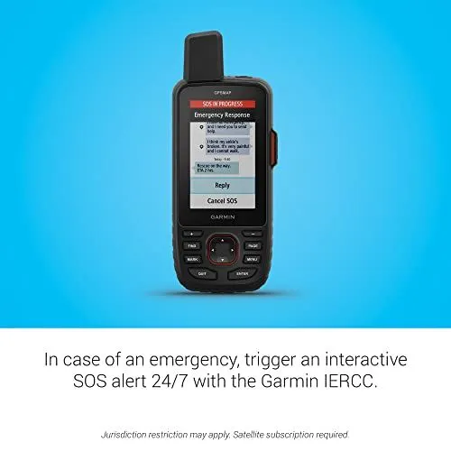
A black Garmin handheld satellite communicator is centered on a bright blue background. The device screen displays an active SOS session with interactive text messages. A message indicates a user has a broken ankle and needs help. The response on the screen shows a rescue is on the way with a two hour estimated arrival time. Below the device is white text explaining the interactive SOS alert system. The text mentions the Garmin International Emergency Response Coordination Center. Small disclaimer text at the bottom notes that a satellite subscription is required. The device has physical buttons for navigation and a prominent antenna at the top. This rugged tool is designed for outdoor emergency communication and navigation.
Garmin GPSMAP 67i Handheld GPS Device
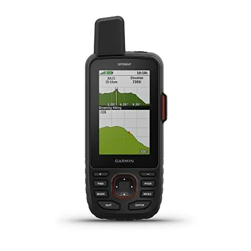
A black handheld Garmin GPSMAP series device is centered against a plain white background. The device features a rugged design with a prominent antenna at the top left and a color display screen. On the screen an elevation profile and a topographic map are visible with data fields for time and elevation. Below the screen is a physical button layout including a directional pad and dedicated buttons for Find Mark Page and Menu. The device is standing upright and appears durable for outdoor navigation. The Garmin logo is printed clearly below the screen. Small orange accents are visible on the side buttons and around the directional pad. This unit is designed for hiking and backcountry exploration.
Garmin GPSMAP 67 Handheld GPS Device
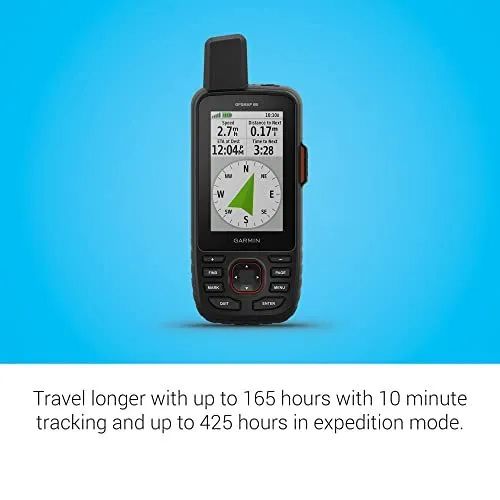
The image displays a Garmin GPSMAP 67 handheld satellite navigation device. It is centered against a bright blue gradient background. The device features a rugged black casing with a prominent antenna at the top. A color display screen shows a digital compass and several data fields. These fields include speed and distance to the next waypoint. Below the screen are several physical buttons for navigation and menu selection. A text block at the bottom of the image explains the battery life. It states the device lasts up to 165 hours with 10 minute tracking. It also mentions a battery life of up to 425 hours in expedition mode. The overall design suggests a durable tool for outdoor exploration.
Garmin GPSMAP 67i Handheld Satellite Communicator
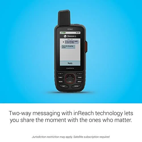
A black Garmin handheld GPS device is centered against a bright blue background. The screen displays a text message conversation with a contact named Shannon J. There is a prominent antenna at the top left and a large orange button on the right side. Below the screen are several physical buttons including a directional pad and menu controls. Large black text at the bottom describes two-way messaging with inReach technology. Small italicized text at the very bottom mentions jurisdictional restrictions and subscription requirements. The device is rugged and designed for outdoor navigation. It features a color display and clear user interface. The overall composition is a clean product advertisement.
Garmin GPSMAP 66sr Handheld Navigator
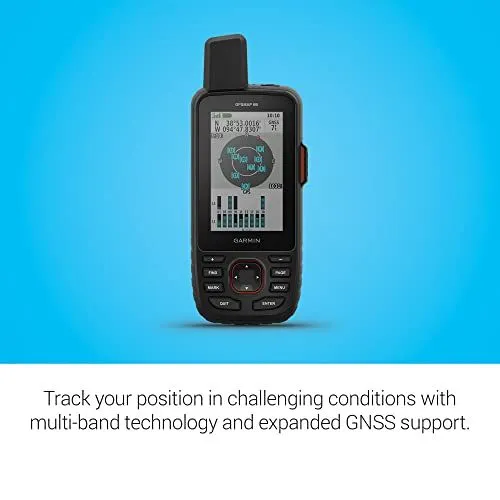
The image shows a rugged Garmin GPSMAP 66sr handheld device. It is centered against a vibrant blue and white gradient background. The device features a large color display showing satellite signal strength and coordinates. A prominent antenna sits at the top left of the unit. Several physical buttons are located below the screen for navigation. These include a directional pad and buttons for find and mark. The text at the bottom highlights multi-band technology and expanded GNSS support. This technology helps track positions in challenging conditions. The device has a black durable casing designed for outdoor use. It appears sturdy and professional. The overall layout is clean and informative for potential users.
Google Search Results for Garmin GPSMAP 67i
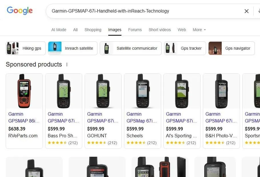
This image shows a Google search results page for a Garmin handheld GPS device. The search bar at the top contains the name of the Garmin GPSMAP 67i model. Several filter buttons appear below the search bar for terms like hiking gps and inreach satellite. A section for sponsored products displays multiple retailers selling the device. Most listings show a price of five hundred ninety nine dollars and ninety nine cents. Retailers include Bass Pro Shops and Scheels and B and H Photo. Each product listing features a small image of the black handheld device. The devices have a rugged design with a large antenna at the top. Color screens on the units show various maps and data fields. User ratings are visible under several of the product listings. The layout is clean and organized for a shopping experience. Additional search results continue toward the bottom of the screen.
Garmin GPSMAP 67i Product Search Results
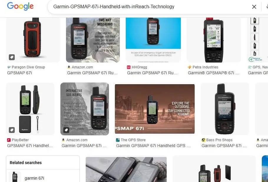
This image displays a collection of search results for the Garmin GPSMAP 67i handheld GPS device. The top of the screen shows a Google search bar containing the product name. Several thumbnails feature the rugged black device with its prominent antenna and button interface. Some images highlight key features like two-way messaging and interactive SOS alerts. Retailers such as Amazon, Bass Pro Shops, and The GPS Store are listed under the product photos. The device is shown from various angles including front and side views. One picture illustrates the screen displaying a topographical map. Another image shows a person using the device in an outdoor setting. The layout is a standard grid of commercial images and promotional graphics. Related search terms appear at the bottom of the visible screen area. The overall theme focuses on satellite communication and outdoor navigation technology.
Google Search results for Garmin GPSMAP 67i
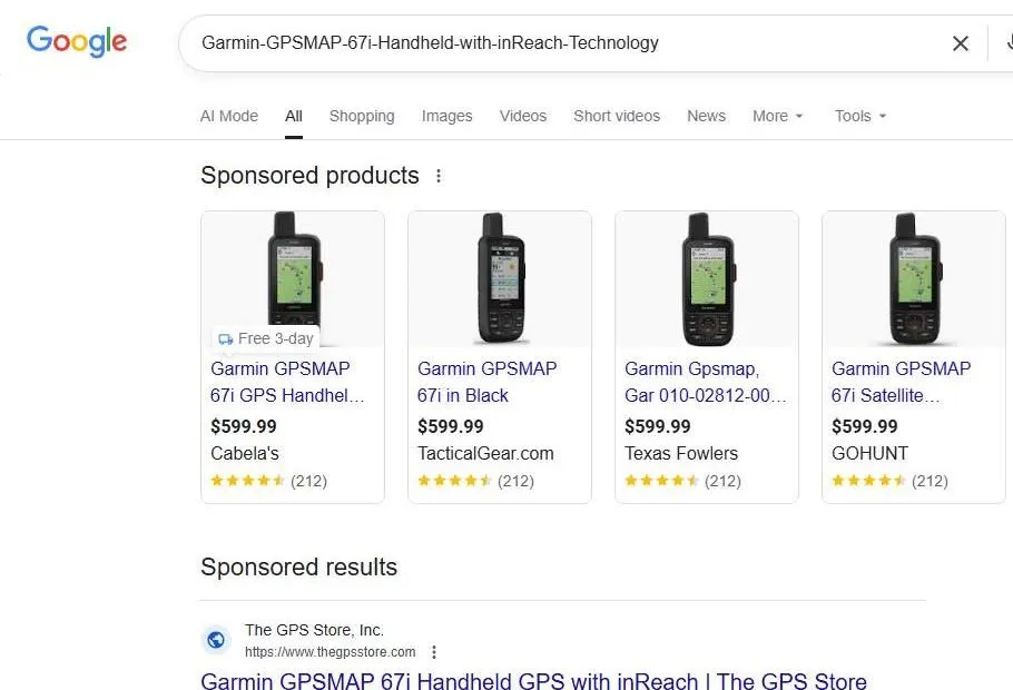
The image shows a Google Search results page for a Garmin GPSMAP 67i handheld GPS device. At the top of the page is a search bar containing the product name. Below the search bar are several navigation tabs like All Shopping and Images. The primary section displays four sponsored product listings. Each listing features a small picture of the black rugged handheld device. The price for each unit is listed as 599.99 dollars. The retailers shown include Cabelas and TacticalGear.com and Texas Fowlers and GOHUNT. Each product has a five star rating based on 212 reviews. A sponsored search result from The GPS Store appears at the bottom of the view. The background of the webpage is white and the layout is clean. The overall design is typical for a modern web browser search interface.
Garmin inReach Messenger Google Shopping search results
The image shows a web browser window displaying Google Shopping search results for a Garmin handheld GPS device. A specific product listing for the Garmin inReach Messenger is centered in the view. The device is a compact black satellite communicator with a small digital display. It is priced at two hundred ninety nine dollars and ninety nine cents. The listing shows a four point three star rating from over three hundred seventy nine reviews. On the left side of the screen there are filtering options for maps and store locations like REI and Cabelas. Shipping information indicates free delivery is available by Wednesday. The bottom of the page includes location settings for Kansas City Missouri. The overall layout is clean with plenty of white space around the product image.
Garmin inReach Messenger Google Shopping Page
The image shows a web browser displaying a Google Shopping search result. The main product featured is a Garmin inReach Messenger device. It is a compact black satellite communicator with a small digital screen. The price listed for the item is two hundred ninety nine dollars and ninety nine cents. A sidebar on the left includes filters for product condition and map coverage. There are options to select maps for the United States, Canada, or Europe. The search bar at the top contains the text for a Garmin GPSMAP sixty seven i handheld. Ratings for various products are visible at the top and bottom of the listing. The page also mentions free delivery by Wednesday. A location marker at the bottom indicates the user is in Kansas City, Missouri. The overall layout is clean and typical of an e-commerce interface.
YouTube search results for Garmin GPSMAP 67i handheld GPS
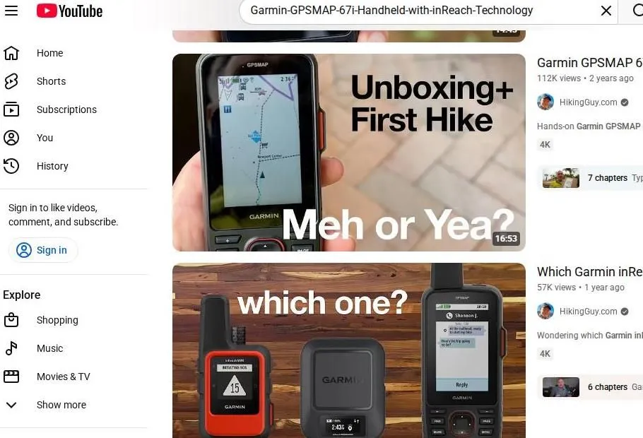
This image shows a YouTube search page. The search bar at the top displays a query for the Garmin GPSMAP 67i handheld with inReach technology. Two primary video results from the channel HikingGuy.com are visible. The first video is titled Unboxing and First Hike. It features a person holding the device while displaying a map screen. The thumbnail also asks Meh or Yea. The second video below shows three different Garmin devices side by side. It poses the question which one to help viewers compare models. A sidebar on the left side of the screen includes standard YouTube navigation links. These links include Home, Shorts, and Subscriptions. There is also an Explore section for shopping and music. The interface is clean and uses a white background. Small thumbnails for video chapters appear on the right side of the results.